


Dolpo, one of the highest inhabited plateaus in the world, was closed to trekkers until 1989. Those that did get to visit this area needed special permission from the Government. With the changes in the regulations governing visits, a remarkable part of Nepal, hitherto almost unknown, has suddenly become a major destination for trekkers and mountain lovers.
It is an area of roughly 2100 square miles inside Nepal's northwestern frontier with Tibet, encompassing some thirty villages and monasteries at altitutes of eleven to fifteen thousand feet. Dolpo is in Nepal but, its people - in race, religion and culture, are Tibetan Buddhists descended from nomadic tribes who settled in this area around the tenth century. Being in Nepal, the Chinese occupation and subsequent "cultural revolution" of Tibet did not affect the Dolpo-pa (people of Dolpo), and their religion and culture has survived as one of the best preserved examples of Tibetan Buddhism in the world. In fact, people living in certain pockets of the region practice Bon Po, an animastic religion that pre-dates Buddhism and which, some believe, is actually the precursor to Tibetan Buddhism as we know it.
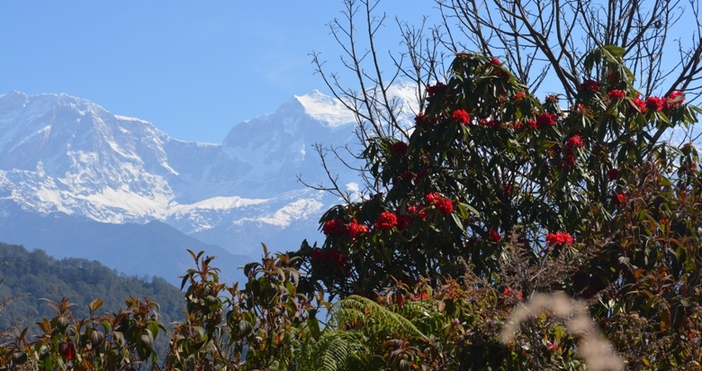
Lower Dolpo, the area opened to trekkers, is thickly forested with conifers and cut by gushing rivers. The upper portion of Dolpo, however, is an extension of the Tibetan Plateau and has the same wild, windswept, open spaces characteristic of Tibet.
The region was declared a National Park in 1984, making it Nepal's largest National Park and the only one encompassing a Trans-Himalayan eco-system. The natinal Park Status has helped preserve not only the culture but also the wiildlife. The lower Dolpo is home to the endangered musk deer which may be glimpsed along the trails and to a great variety of birds. Though rarely seen the blue sheep, the Himalayan black bear, snow leopard and the Himalayan wolf are also found in Dolpo. Your journey to the land of the Dolpo-pa begins with a flight from Kathmandu to Nepalgunj, followed the next day by another flight to the STOL airstrip at Jumla.
From Jumla the trail follows a south-easterly direction through the villages of Gothichour, Chaurikot, and Hurikot. Then heading north-east, it crosses the Kagmara La at 16800 feet / 5115 m. (La = pass) to the villages of Pungmo and Ringmo to culminate at the the Shey Phoksumdo Lake. Trekkers are not allowed to go north beyond the lake. The return journey will bring you south through the villages of Sepka and Aankhe to Dunai for the flight back to Nepalgunj and then to Kathmandu